bfabiszewski / Ulogger Android
Programming Languages
Projects that are alternatives of or similar to Ulogger Android
 μlogger

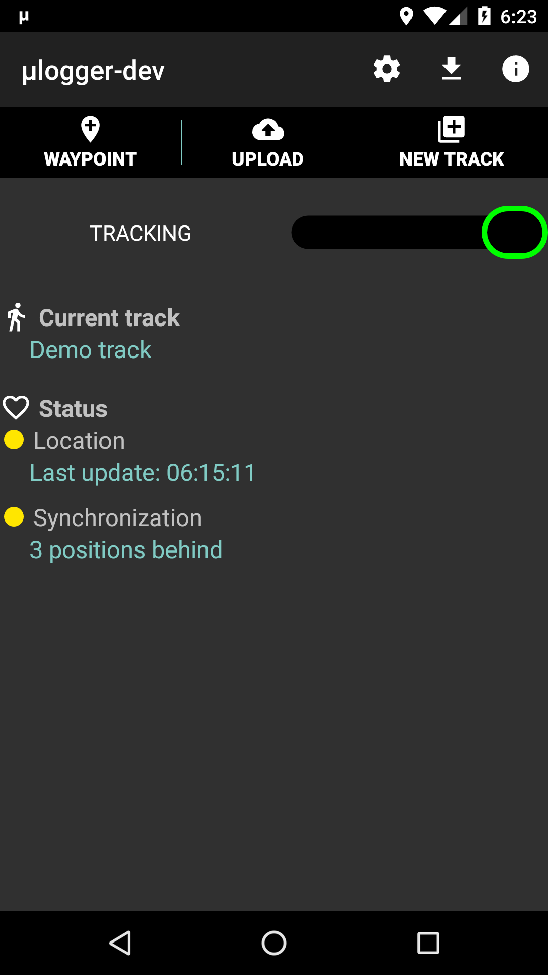
μlogger [micro-logger] is an android application for continuous logging of location coordinates, designed to record hiking, biking tracks and other outdoor activities. Application works in background. Track points are saved automatically at chosen intervals or manually and may be uploaded to dedicated server in real time. This client works with μlogger web server. Together they make a complete self owned and controlled client–server solution.
Features
- meant to be simple and small (μ)
- low memory and battery impact
- focus on privacy, doesn't use Google Play services, logs to self-owned server
- uses GPS or network based location data
- synchronizes location with web server in real time, in case of problems keeps retrying
- alternatively works in offline mode; positions may be uploaded to the servers manually
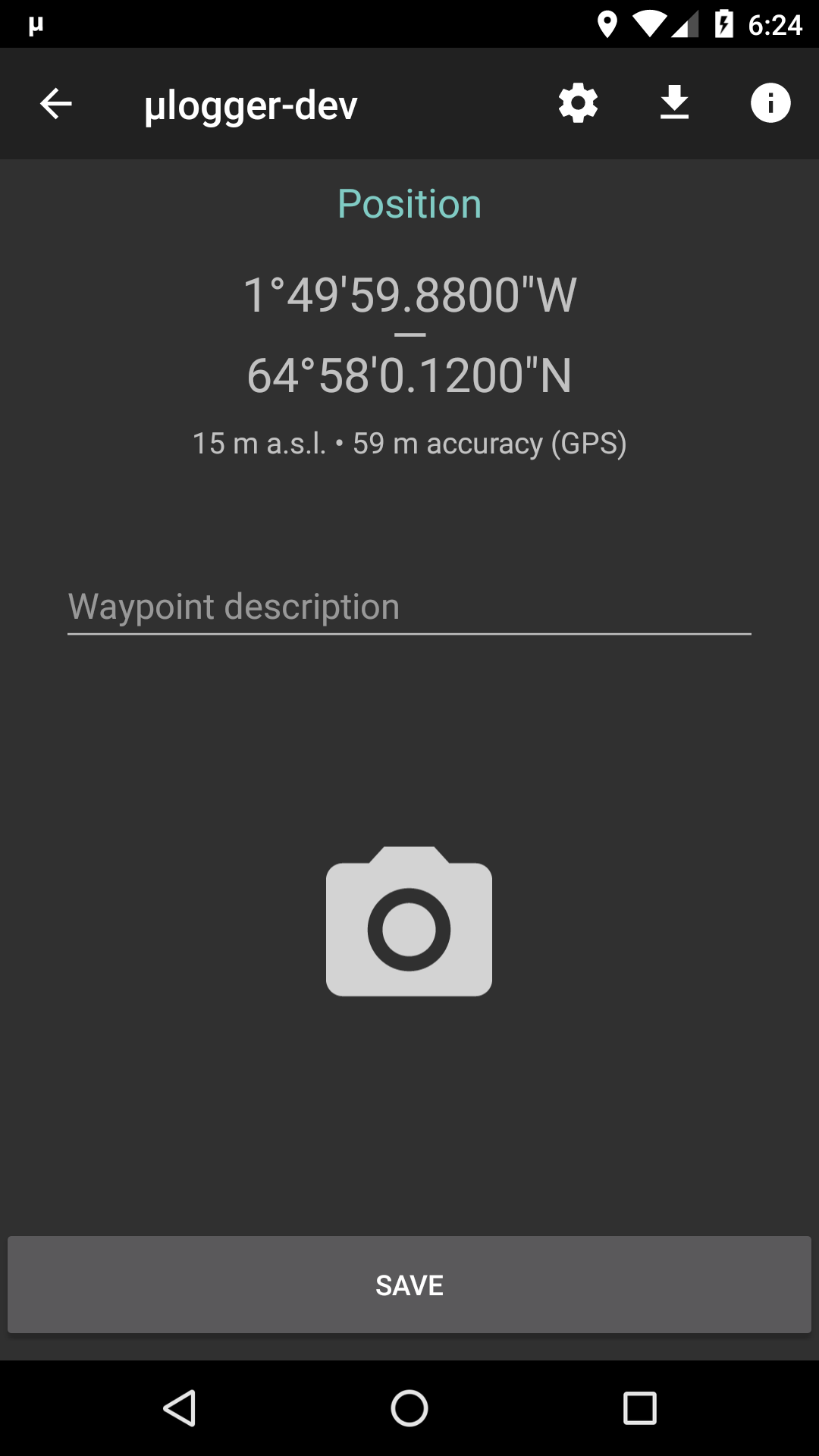
- allows adding waypoints with attached images and comments (required μlogger server version 1.0+ for synchronization)
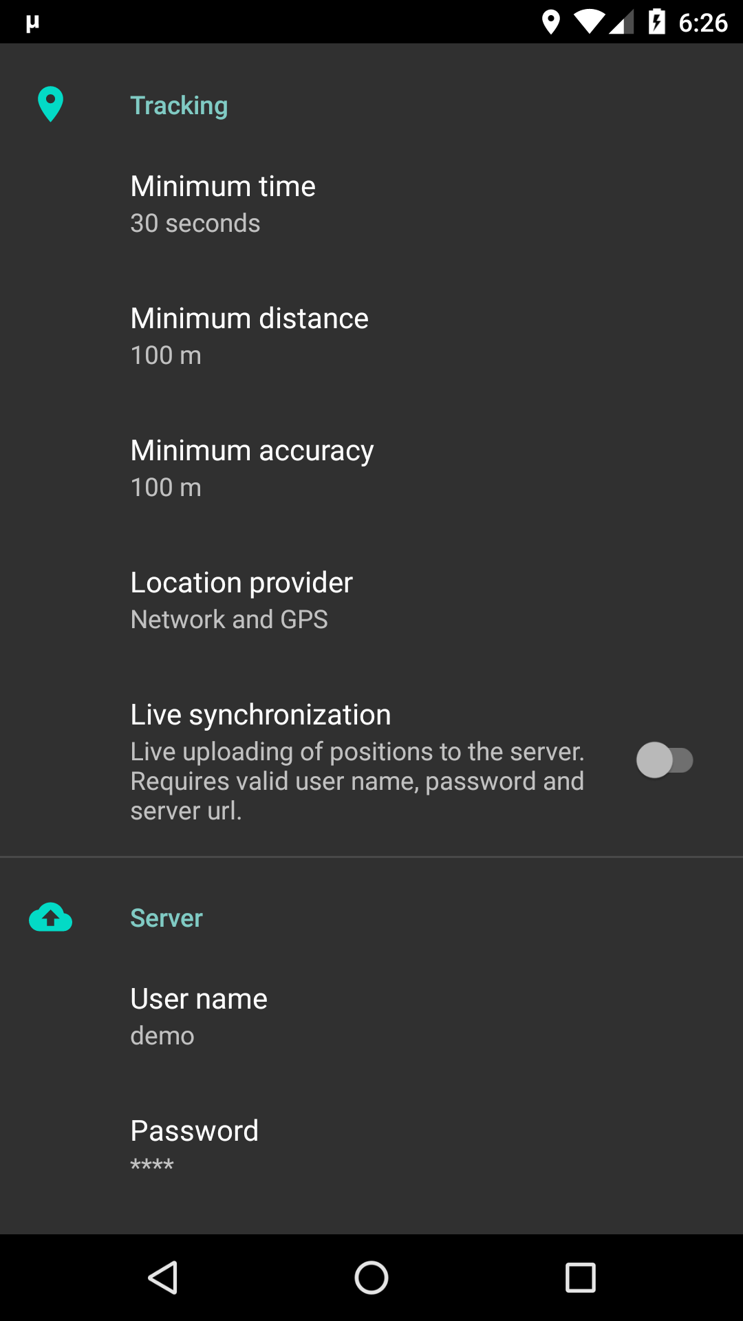
- configurable tracking settings
- export to GPX format
- automation
Screenshots
Download
Help
- μlogger's current status is shown by two leds, one for location tracking and one for web synchronization:
| led | tracking | synchronization |
|---|---|---|
| on, recently updated | synchronized | |
| on, long time since last update | synchronization delay | |
| off | synchronization error |
- clicking on current track's name will show track statistics
Automating
- μlogger may accept commands from other applications for starting or stopping its operations. To make it work you must explicitly enable this functionality in app settings ("Allow external commands" switch).
- commands are sent as
broadcastswith followingintentparameters:- target package:
net.fabiszewski.ulogger - target class:
net.fabiszewski.ulogger.ExternalCommandReceiver - action:
net.fabiszewski.ulogger.intent.action.COMMAND - extra:
"command": [command name], where command name is one of:-
"start logger"for starting position logging -
"start new logger"for creating a New Track and starting position logging to it -
"stop logger"for stopping position logging -
"start upload"for starting track data upload to server (in case live tracking is off)
-
- target package:
- third party examples:
- Automate (LlamaLab) – Send broadcast block with
Package,Receiver ClassandActionfields as above andExtrasfield eg.{"command": "start logger"} - Tasker (joaomgcd) – System → Send intent. Fields
Action,Package,Classas above andExtrafield eg.command:start logger
- Automate (LlamaLab) – Send broadcast block with
- command line:
am broadcast -a net.fabiszewski.ulogger.intent.action.COMMAND -e "command" "start logger" net.fabiszewski.ulogger net.fabiszewski.ulogger.ExternalCommandReceiver
Location permissions
Starting with Android 11, if you want to use the application without user interaction (automating, autostart on boot), it is necessary to grant application background location permission ("Allow all the time" option). In all other cases, when you start tracking from app screen, it is enough to grant "Allow only while using the app" option.
App settings guidelines
Finding the optimized settings for your practice can be a bit complex and may require you to do a lot of testing. As a first approach, here are some parameters that offer a good compromise between precision and the number of points acquired by your server.
| Activity | Time | Distance | Accuracy | Provider |
|---|---|---|---|---|
| hiking/cycling | 30 seconds | 100m | 100m | GPS + Network |
| motorbiking | 1 minute | 500m | 50m | GPS + Network |
They may not be optimal, depending on your feelings, and you will have to adapt them.
Contribute translations
Donate

bc1qt3uwhze9x8tj6v73c587gprhufg9uur0rzxhvh

0x100C31C781C8124661413ed6d1AA9B1e2328fFA2

Xb6X3zwLMgc3QQDNbeYmsqSwn2pofH2vXT


