dem-net / Dem.net
Licence: other
Digital Elevation model library in C#. 3D terrain models, line/point Elevations, intervisibility reports
Stars: ✭ 153
Projects that are alternatives of or similar to Dem.net
Torchdata
PyTorch dataset extended with map, cache etc. (tensorflow.data like)
Stars: ✭ 226 (+47.71%)
Mutual labels: dataset, library
Mayo
3D CAD viewer and converter based on Qt + OpenCascade
Stars: ✭ 192 (+25.49%)
Mutual labels: stl, gltf
Nlp bahasa resources
A Curated List of Dataset and Usable Library Resources for NLP in Bahasa Indonesia
Stars: ✭ 158 (+3.27%)
Mutual labels: dataset, library
android-3d-model-viewer
Android app to load 3D models in obj, stl, dae & gltf format using pure OpenGL ES 2.0. Published on Play Store https://play.google.com/store/apps/details?id=org.andresoviedo.dddmodel2
Stars: ✭ 150 (-1.96%)
Mutual labels: stl, gltf
Gena
Generic pseudo-templated containers for C. Written entirely in C89 with design inspired by the C++ STL. /// DOCS ARE SLIGHTLY OUTDATED, PROJECT IS STABLE AND STILL IN ACTIVE DEVELOPMENT
Stars: ✭ 61 (-60.13%)
Mutual labels: library, stl
Stdex
std C++ 11 library impementation with extra features using only C++ 98 and POSIX threads
Stars: ✭ 43 (-71.9%)
Mutual labels: library, stl
Functionalplus
Functional Programming Library for C++. Write concise and readable C++ code.
Stars: ✭ 1,286 (+740.52%)
Mutual labels: library, stl
Aerogameframework
AeroGameFramework is a Roblox game framework that makes development easy and fun. The framework is designed to simplify the communication between modules and seamlessly bridge the gap between the server and client.
Stars: ✭ 150 (-1.96%)
Mutual labels: library
Weihanli.common
common tools,methods,extension methods etc... .net 常用工具类,公共方法,常用扩展方法等,基础类库
Stars: ✭ 152 (-0.65%)
Mutual labels: library
Gappein Chat Sdk
A plug and play modular toolkit for integrating the Chat feature on top of Firebase!
Stars: ✭ 154 (+0.65%)
Mutual labels: library
Deeply
PHP client for the DeepL.com translation API (unofficial)
Stars: ✭ 152 (-0.65%)
Mutual labels: library
Routeros Api Php
Mikrotik RouterOS API PHP client for your applications
Stars: ✭ 152 (-0.65%)
Mutual labels: library
Libcache
A Lightweight in-memory key:value cache library for Go.
Stars: ✭ 152 (-0.65%)
Mutual labels: library
Isic Archive Downloader
A script to download the ISIC Archive of lesion images
Stars: ✭ 153 (+0%)
Mutual labels: dataset
Garland View Android
≡ GarlandView seamlessly transitions between multiple lists of content. Made by @Ramotion
Stars: ✭ 1,855 (+1112.42%)
Mutual labels: library

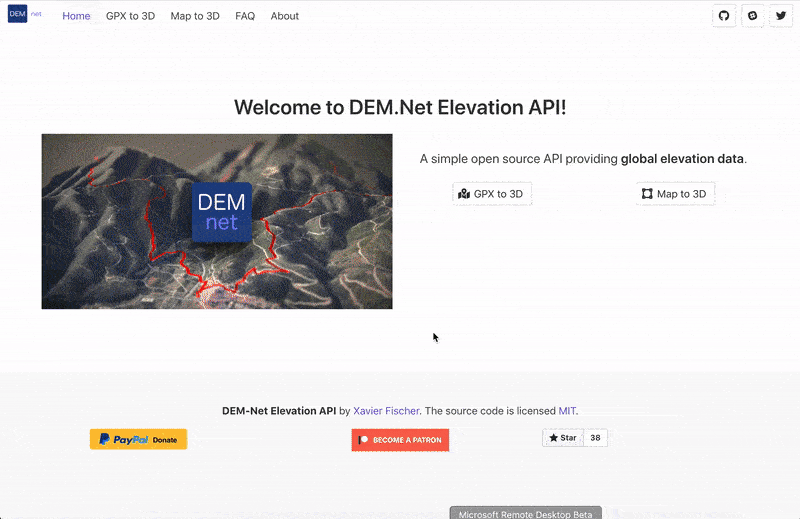
![]()

DEM.Net.Core 
DEM.Net.glTF 
This library is licensed for personal use or for smal companies generating less than $100,000 annually, for any other cases, please get in touch with us.
DEM.Net
Digital Elevation Model library in C#
- Elevation queries (point, polylines, heightmap, GPX)
- 3D export (glTF, STL)
- Imagery (MapBox, OSM, Stamen) : textured 3D models and normal maps
- No setup
- Automatic DEM file download from openTopography.org
- Fast and optimized queries
See samples here
Supported by 
Supported formats and datasets
Input
- GeoTIFF (JAXA AW3D, and any GeoTIFF)
- HGT (Nasa SRTM)
- netCDF
Output
- glTF
- STL
Current dev status
- All incoming features are listed in the project board here : https://dev.azure.com/dem-net/elevationapi/_workitems/recentlyupdated/.
- Feel free to suggest any idea you'd like to see covered here in the issues : https://github.com/dem-net/DEM.Net/issues.
SampleApp
(Work in progress) SampleApp is a Console App used for test purposes, full of samples. It's pretty messy and lacks documentation but names are self explanatory.
How do I use the API ?
Raster operations
- Use
elevationService.DownloadMissingFiles(DEMDataSet.AW3D30, <bbox>)to download and generate metadata for a given dataset. - Supported datasets : SRTM GL1 and GL3 (HGT files), AWD30 (GeoTIFF)
- Use
new RasterService().GenerateReport(DEMDataSet.AW3D30, <bounding box>)to download only necessary tiles using remote VRT file. - Use
rasterService.GenerateFileMetadata(<path to file>, DEMFileFormat.GEOTIFF, false, false)to generate metada for an arbitrary file. - Use
RasterService.GenerateDirectoryMetadata(samplePath);to generate metadata files for your raster tiles. These metadata files will be used as an index when querying Digital Elevation Model data.
Elevation operations
- GetLineGeometryElevation
- GetPointElevation
glTF export
-
glTFServicecan generate triangulated MeshPrimitives from height maps - Export to .gtlf or .glb
Sample data
- Rasters from http://www.opentopography.org Dataset used is "ALOS World 3D - 30m" : http://opentopo.sdsc.edu/lidar?format=sd&platform=Satellite%20Data&collector=JAXA For development and tests, files covering France were used.
- Not used yet but worth mentionning : For sea bed elevation : ETOPO1 Global Relief Model https://www.ngdc.noaa.gov/mgg/global/global.html
Acknowledgements / Sources
- https://github.com/stefangordon/GeoTiffSharp from @stefangordon which provided a good starting point.
- Pedro Sousa : http://build-failed.blogspot.fr/2014/12/processing-geotiff-files-in-net-without.html for good explanations.
- Mathieu Leplatre for http://blog.mathieu-leplatre.info/drape-lines-on-a-dem-with-postgis.html
- Andy9FromSpace : HGT file reader in https://github.com/Andy9FromSpace/map-elevation
Third party code and librairies
- glTF : glTF2Loader and AssetGenerator : https://github.com/KhronosGroup/glTF
- Tiff support : https://github.com/BitMiracle/libtiff.net
- Serialization : https://github.com/neuecc/ZeroFormatter and https://github.com/JamesNK/Newtonsoft.Json
- System.Numerics.Vectors for Vector support
- GPX reader from dlg.krakow.pl
Note that the project description data, including the texts, logos, images, and/or trademarks,
for each open source project belongs to its rightful owner.
If you wish to add or remove any projects, please contact us at [email protected].