landgrab
A python script to download vector tiles which contain a feature on OpenStreetMap.
Requirements
- the python requests module: http://docs.python-requests.org/en/latest/user/install/#install
Usage
python landgrab.py [osm id] [zoom level or range] [optional list-only flag]
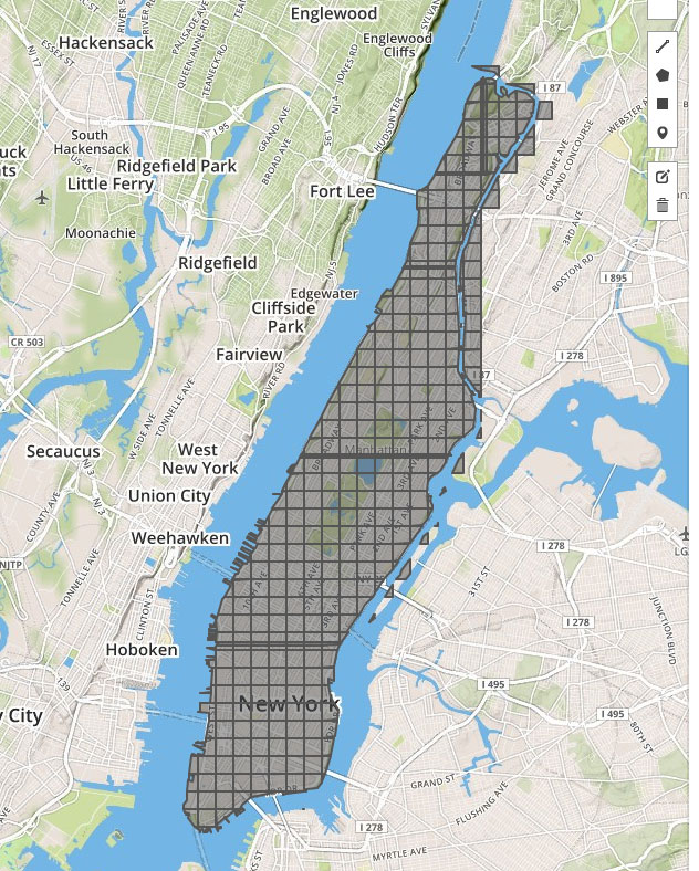
- Manhattan Island:
python landgrab.py 3954665 15 - Manhattan Island, list only:
python landgrab.py 3954665 15 1 - Rhode Island, zooms 3, 5-7, and 12-14, list only:
python landgrab.py 392915 "3, 5-7, 12-14" 1 - Indiana:
python landgrab.py 161816 9 - Alaska:
python landgrab.py 1116270 6(broken due to dateline bug)
Test your downloads by viewing them on http://geojson.io/
Todo:
- handle shapes which cross the International Date Line