PRo3D, short for Planetary Robotics 3D Viewer, is an interactive 3D visualization tool allowing planetary scientists to work with high-resolution 3D reconstructions of the Martian surface.
Repository for "GIS for Geoscientists" workshop series. This repo contains data, protocols, outputs, lectures, and resources used the workshop. Course taught by Nicholas Barber. Available for future booking upon request! Contact me ([email protected]) for a quote.
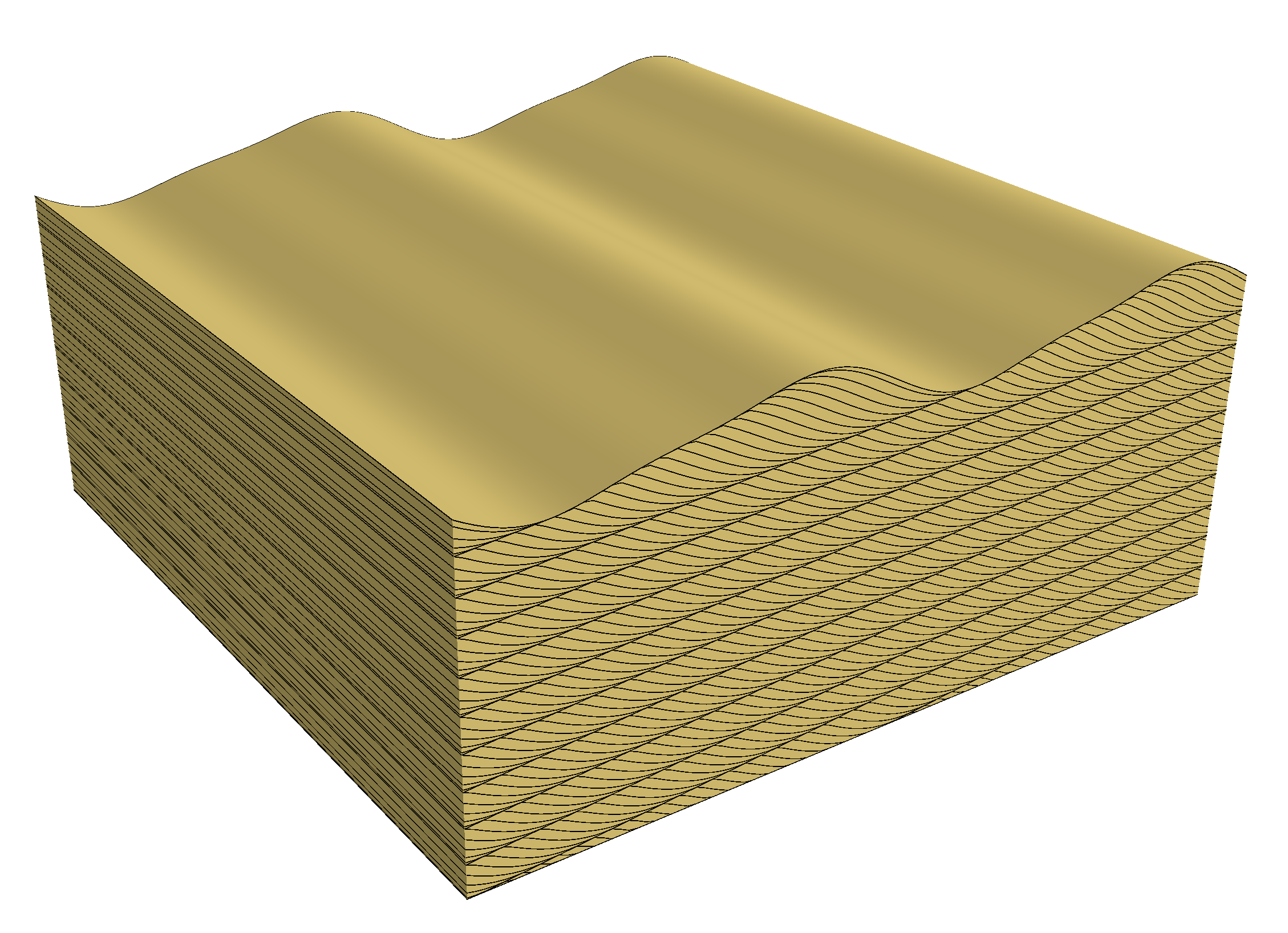
'pybedforms' is a Python version of 'Bedforms 4.0', a Matlab program written by David Rubin and Carissa Carter (see this USGS publication and this interactive webpage). The bedform topographies are created in exactly the same way as they were in Bedforms 4.0; however, the 3D visualization is different. We use Mayavi to build the block diagrams; these plotting functions were simplified from the 'blockdiagram' Python package. All the key classes and functions are in the 'dune_topo.py' module. The 'Notebook_with_examples' jupyter notebook illustrates how to build bedform models using (1) the default parameters and (2) a set of parameters predefined by Rubin & Carter. The model can be visualized as a block diagram using the "plot_3D" function:
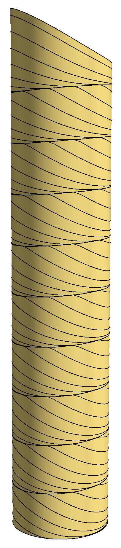
You can also extract a "core" from the model and visualize it in 3D:
Requirements
matplotlib
numpy
mayavi
skimage
scipy
tqdm
Note that the project description data, including the texts, logos, images, and/or trademarks,
for each open source project belongs to its rightful owner.
If you wish to add or remove any projects, please contact us at [email protected].