y20k / Trackbook
Programming Languages
Projects that are alternatives of or similar to Trackbook
Trackbook - Android Movement Recorder

Version 2.0.x ("Echoes")
Trackbook is a bare-bones app for recording your movements. Trackbook is great for hiking, vacationing, or working out. Once started, it traces your movements on a map. The map data is provided by OpenStreetMap (OSM).
Trackbook is free software. It is published under the MIT open-source license. Trackbook uses osmdroid to display the map, which is also free software published under the Apache License. Want to help? Please check out the notes in CONTRIBUTE.md first.
Install Trackbook
You can install it via Google Play and F-Droid - or you can go and grab the latest APK on GitHub.
![]()
![]()
Good To Know
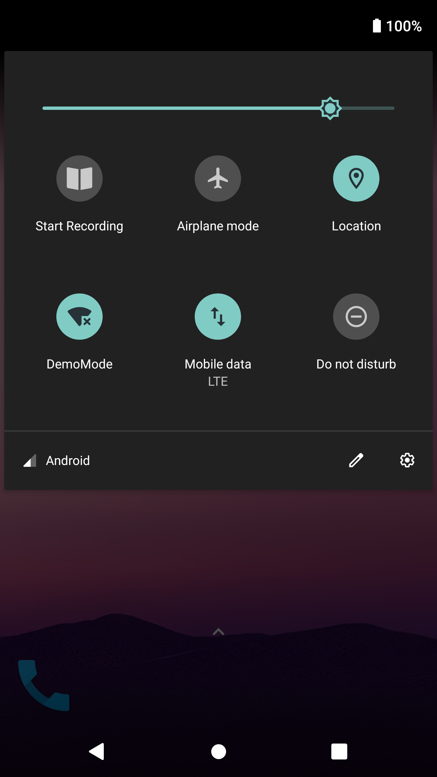
Start Recording via Quick Settings Tile

You can start a recording without opening Trackbook.
Just pull down the System's Quick Settings and tap on the "Start Recording" tile.
You'll need to manually add Trackbook's Recording tile to Quick Settings first.
You can find information on customizing Quick Settings here and here.
Save Recordings as GPX
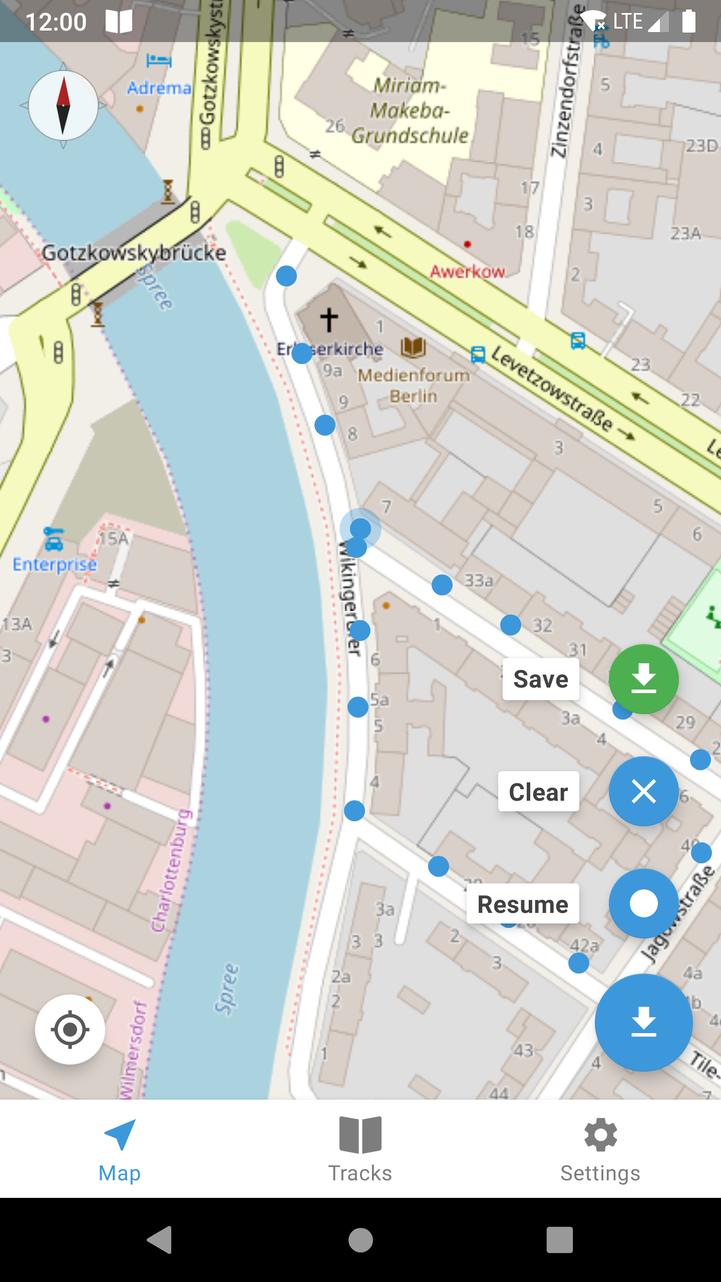
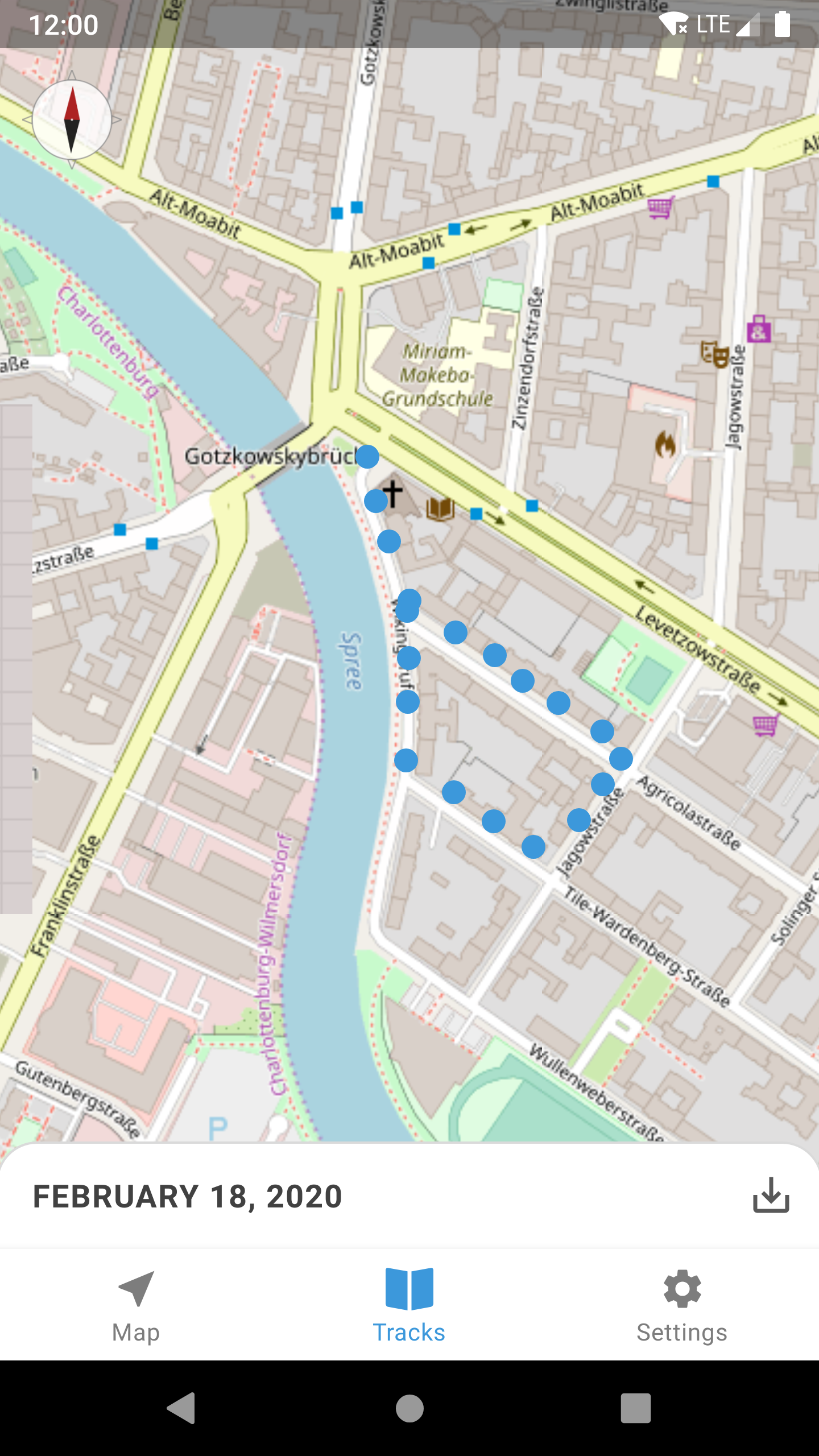
Recordings can be exported as GPX (GPS Exchange Format). Tap on the save button in the lower-right corner of a previously recorded track.
Copy GPX Files Manually
Trackbook automatically generates GPX files for every recording.
You can find them in the folder /Android/data/org.y20k.trackbook/files/gpx/ on your device's storage.
How does Trackbook measure distance?
Trackbook calculates the distance between markers and adds them up.
How does Trackbook measure altitude?
Many devices have altitude sensors (of varying accuracy). Trackbook compares the altitude of each new marker with the previously stored altitude. The difference is added to either the uphill or downhill elevation value.
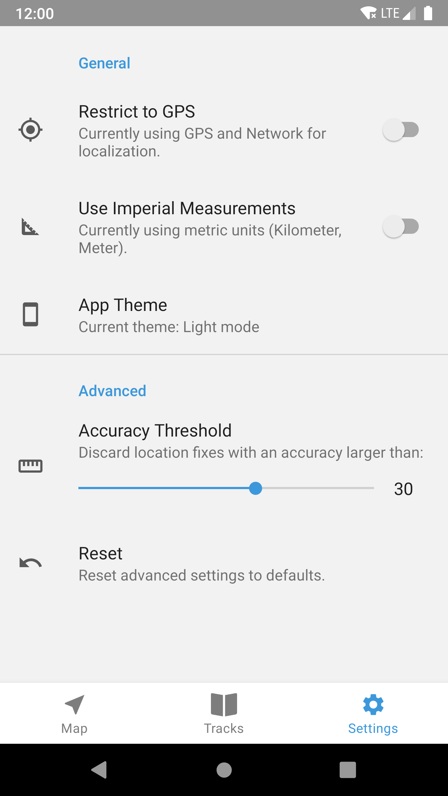
What does "accuracy threshold" mean?
Every location fix that Trackbook receives is associated with an accuracy estimate.
You can look up how Android defines accuracy in the developer documentation.
Accuracy Threshold is the value from which location fixes are rejected.
It can be adjusted in Trackbook's settings.
You can increase the value if your recordings tend to be incomplete.
Trackbook will then also record less accurate location fixes.
Where are my old recordings?
The F-Droid version of Trackbook features an auto-importer for old recordings. Sadly I was not able to implement the auto-importer for the Play Store version of Trackbook due to SDK requirements / restrictions. That is partly my fault and I am very sorry. There is a (quite complicated) solution to get back your old recordings. Please head over to the Wiki to find out how.
A word on privacy
Trackbook begins to store location data on a device as soon as a user presses the record button.
Those recordings are stored in the directory /Android/data/org.y20k.trackbook/files/.
They never leave the device.
There is no web-service backing Trackbook.
Trackbook does not use Google Play Services to get its location data.
It will, however, try to use data from the NETWORK_PROVIDER on your device to augment the location data it received via GPS.
The NETWORK_PROVIDER is a system-wide service that Trackbook has no control over.
This service will usually query an online database for the location of cell towers or Wi-Fi access points a device can see.
You can prevent those kinds of requests on your device if you set the location preferences system-wide to Device Only.
Additionally, Trackbook offers a Restrict to GPS setting that deactivates the NETWORK_PROVIDER just within the app.
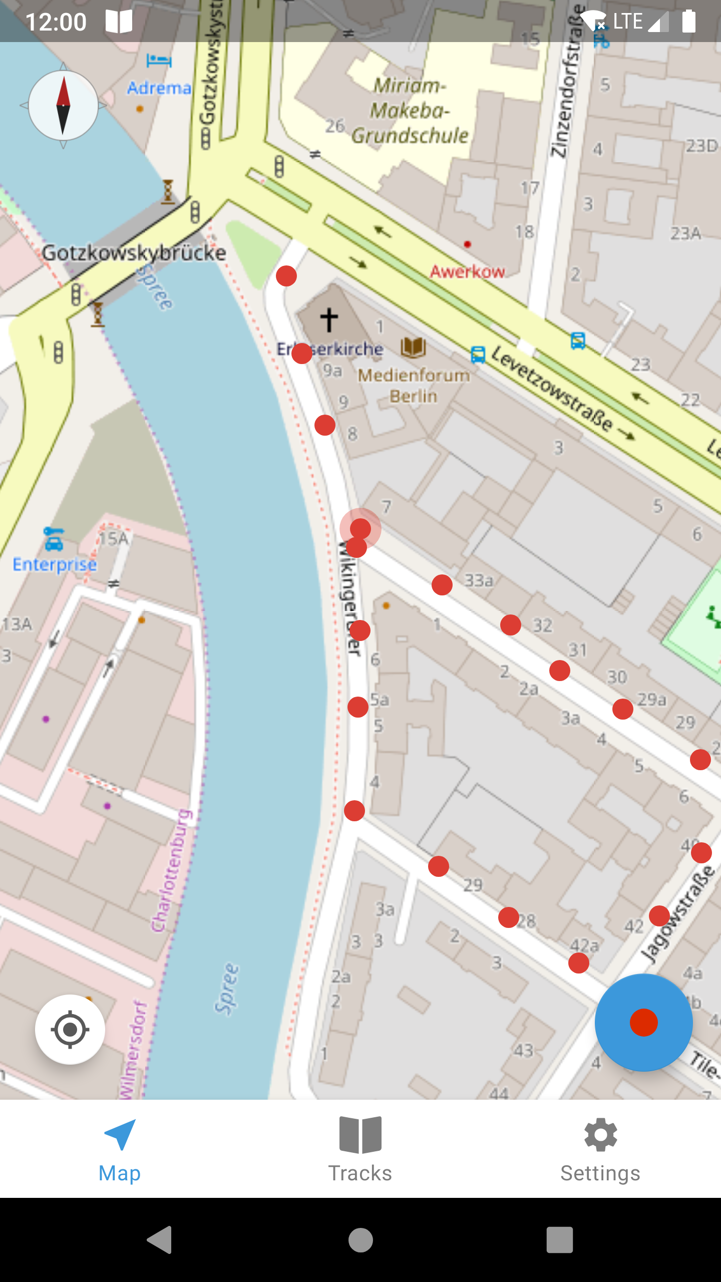
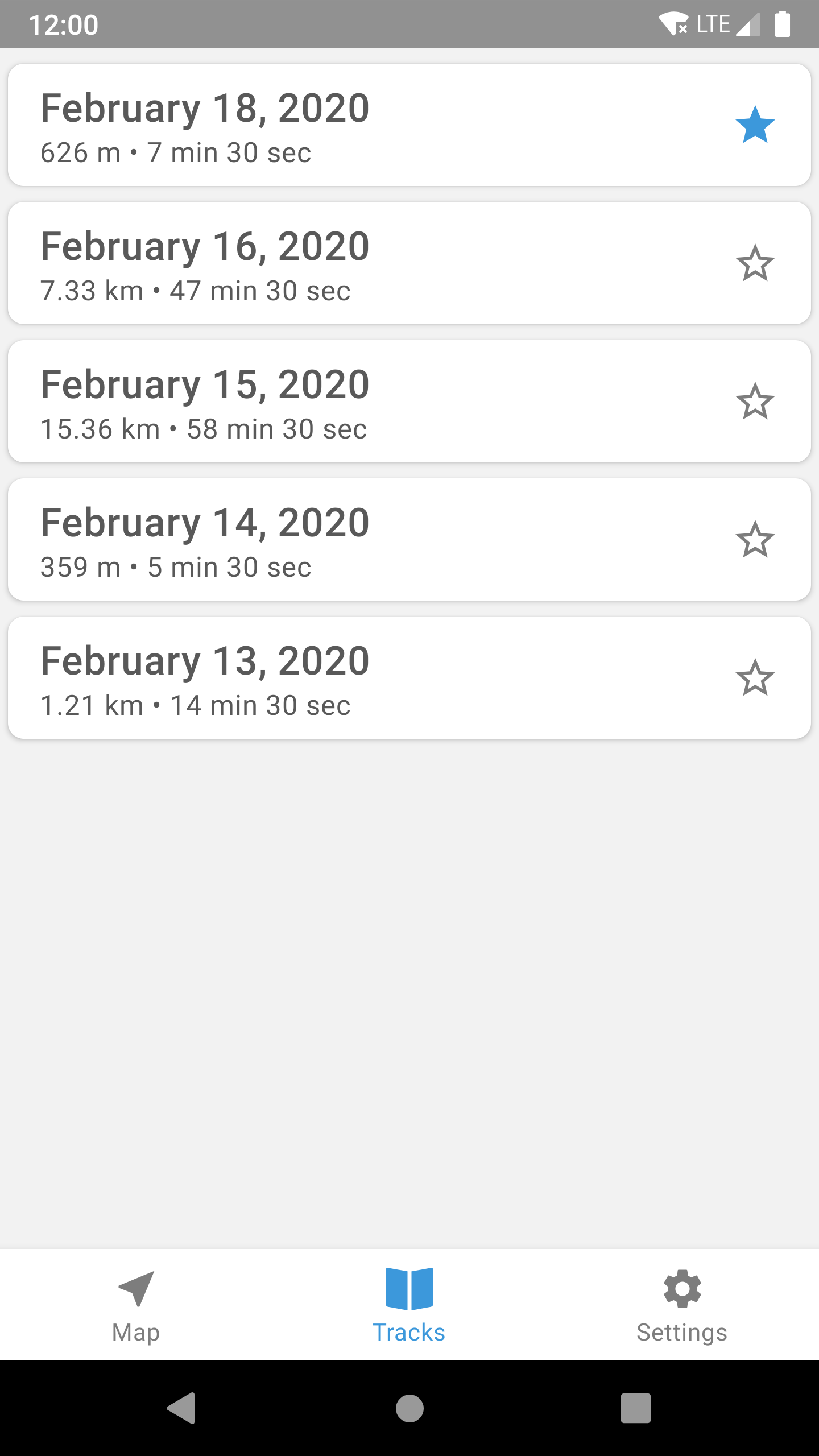
Screenshots (v2.0)