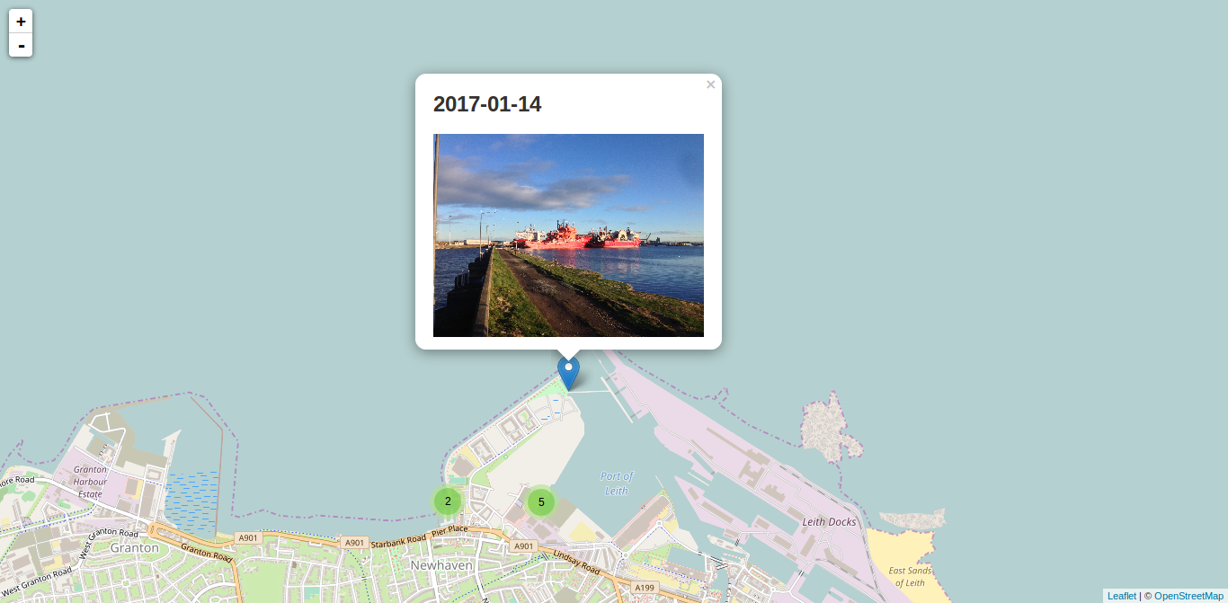
slack-metabotExtract metadata (EXIF) from uploaded files on Slack
Stars: ✭ 15 (-61.54%)
Mutual labels: exif, exif-data-extraction, gps-location
AphotomanagerManage local photos on Android: gallery, geotag with photomap, privacy, tags, find, sort, view, copy, send, ... .
Stars: ✭ 164 (+320.51%)
Mutual labels: photos, geolocation, exif
picsortOrganize your photos by date in one click 👏
Stars: ✭ 22 (-43.59%)
Mutual labels: photos, exif
exif-loaderExtract EXIF- & IPTC-data from your JPGs during build-time.
Stars: ✭ 14 (-64.1%)
Mutual labels: exif, exif-data-extraction
MagicalcameraA library to take picture easy, transform your data in different format and save photos in your device
Stars: ✭ 327 (+738.46%)
Mutual labels: photos, exif
ElodieAn EXIF-based photo assistant, organizer, manager and workflow automation tool.
Stars: ✭ 840 (+2053.85%)
Mutual labels: photos, exif
ExiferA lightweight Exif meta-data decipher.
Stars: ✭ 290 (+643.59%)
Mutual labels: photos, exif
TinyEXIFTiny ISO-compliant C++ EXIF and XMP parsing library for JPEG.
Stars: ✭ 87 (+123.08%)
Mutual labels: exif, exif-data-extraction
Exiftool Vendored.jsFast, cross-platform Node.js access to ExifTool
Stars: ✭ 200 (+412.82%)
Mutual labels: photos, exif
facebook-data-image-exifUI tool to add EXIF data back to images in a Facebook data export
Stars: ✭ 39 (+0%)
Mutual labels: photos, exif
exiftool-json-dbMaintain a JSON database of photos and videos with their metadata
Stars: ✭ 18 (-53.85%)
Mutual labels: photos, exif
flickrsavrA preservation experiment to save photos from Flickr to your disk with the metadata embedded.
Stars: ✭ 17 (-56.41%)
Mutual labels: photos
IP2Location-PHP-ModuleThis module is a PHP module that enables the user to find the country, region, city, coordinates, zip code, ISP, domain name, timezone, connection speed, IDD code, area code, weather station code, weather station name, mobile, usage types, address type, IAB category, etc that any IP address or host name originates from.
Stars: ✭ 154 (+294.87%)
Mutual labels: geolocation
aaf-easyphotomap📷 Easy Photo Map is a photomap application that displays the location of the photo on the map using the location information included in the photo.
Stars: ✭ 36 (-7.69%)
Mutual labels: photomap
xuber2An example ridesharing app built with Elixir
Stars: ✭ 24 (-38.46%)
Mutual labels: geolocation
LitratoAndroid photo editing app with various filters and tools. Included advanced features like masking, histogram, color picker, EXIF viewer...
Stars: ✭ 54 (+38.46%)
Mutual labels: exif
osx-location🌎 Utility for polling OS X Location Services for current geographic coordinates. Works on Lion or better.
Stars: ✭ 31 (-20.51%)
Mutual labels: geolocation
ip2location-cakephpIP2Location CakePHP plugin enables the user to find the country, region, city, coordinates, zip code, time zone, ISP, domain name, connection type, area code, weather, MCC, MNC, mobile brand name, elevation, usage type, IP address type and IAB advertising category from IP address using IP2Location database.
Stars: ✭ 17 (-56.41%)
Mutual labels: geolocation
jekyll-photosDead simple solution to add a photo gallery to a Jekyll site.
Stars: ✭ 47 (+20.51%)
Mutual labels: photos

