developmentseed / Label Maker
Licence: mit
Data Preparation for Satellite Machine Learning
Stars: ✭ 377
Programming Languages
python
139335 projects - #7 most used programming language
Projects that are alternatives of or similar to Label Maker
shipsnet-detector
Detect container ships in Planet imagery using machine learning
Stars: ✭ 30 (-92.04%)
Mutual labels: remote-sensing, satellite-imagery
Notebooks
interactive notebooks from Planet Engineering
Stars: ✭ 339 (-10.08%)
Mutual labels: remote-sensing, satellite-imagery
eodag
Earth Observation Data Access Gateway
Stars: ✭ 183 (-51.46%)
Mutual labels: remote-sensing, satellite-imagery
Python-for-Remote-Sensing
python codes for remote sensing applications will be uploaded here. I will try to teach everything I learn during my projects in here.
Stars: ✭ 20 (-94.69%)
Mutual labels: remote-sensing, satellite-imagery
land-cover-to-land-use-classification
Satellite image processing pipeline to classify land-cover and land-use
Stars: ✭ 64 (-83.02%)
Mutual labels: remote-sensing, satellite-imagery
Start maja
To process a Sentinel-2 time series with MAJA cloud detection and atmospheric correction processor
Stars: ✭ 47 (-87.53%)
Mutual labels: remote-sensing, satellite-imagery
geoblaze
Blazing Fast JavaScript Raster Processing Engine
Stars: ✭ 80 (-78.78%)
Mutual labels: remote-sensing, satellite-imagery
sentinel-util
A CLI for downloading, processing, and making a mosaic from Sentinel-1, -2 and -3 data
Stars: ✭ 22 (-94.16%)
Mutual labels: remote-sensing, satellite-imagery
dea-coastlines
Extracting tidally-constrained annual shorelines and robust rates of coastal change from freely available Earth observation data at continental scale
Stars: ✭ 24 (-93.63%)
Mutual labels: remote-sensing, satellite-imagery
spyndex
Awesome Spectral Indices in Python.
Stars: ✭ 56 (-85.15%)
Mutual labels: remote-sensing, satellite-imagery
lightweight-temporal-attention-pytorch
A PyTorch implementation of the Light Temporal Attention Encoder (L-TAE) for satellite image time series. classification
Stars: ✭ 43 (-88.59%)
Mutual labels: remote-sensing, satellite-imagery
Torchsat
🔥TorchSat 🌏 is an open-source deep learning framework for satellite imagery analysis based on PyTorch.
Stars: ✭ 261 (-30.77%)
Mutual labels: remote-sensing, satellite-imagery
eemont
A python package that extends Google Earth Engine.
Stars: ✭ 290 (-23.08%)
Mutual labels: remote-sensing, satellite-imagery
Geospatial Machine Learning
A curated list of resources focused on Machine Learning in Geospatial Data Science.
Stars: ✭ 289 (-23.34%)
Mutual labels: remote-sensing, satellite-imagery
GoogleEarthEngine-side-projects
Google Earth Engine side projects and tutorial scripts
Stars: ✭ 23 (-93.9%)
Mutual labels: remote-sensing, satellite-imagery
awesome-spectral-indices
A ready-to-use curated list of Spectral Indices for Remote Sensing applications.
Stars: ✭ 357 (-5.31%)
Mutual labels: remote-sensing, satellite-imagery
deck.gl-raster
deck.gl layers and WebGL modules for client-side satellite imagery analysis
Stars: ✭ 60 (-84.08%)
Mutual labels: remote-sensing, satellite-imagery
xarray-sentinel
Xarray backend to Copernicus Sentinel-1 satellite data products
Stars: ✭ 189 (-49.87%)
Mutual labels: remote-sensing, satellite-imagery
ee extra
A ninja python package that unifies the Google Earth Engine ecosystem.
Stars: ✭ 42 (-88.86%)
Mutual labels: remote-sensing, satellite-imagery
Landsat578
Very simple API to download Landsat [1-5, 7, 8] data from Google
Stars: ✭ 54 (-85.68%)
Mutual labels: remote-sensing, satellite-imagery
Label Maker
Data Preparation for Satellite Machine Learning
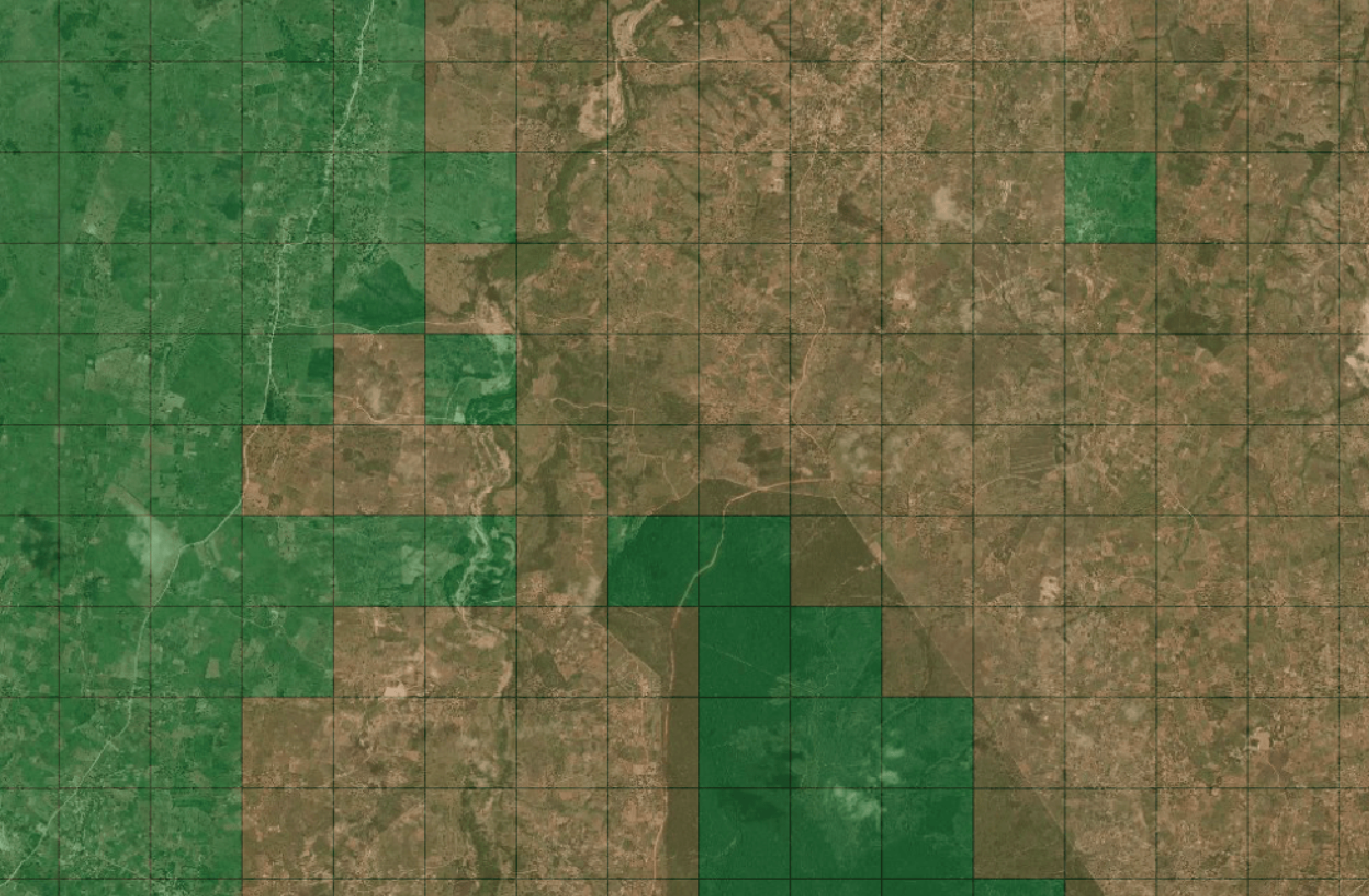
Label Maker downloads OpenStreetMap QA Tile information and satellite imagery tiles and saves them as an .npz file for use in machine learning training.
 satellite imagery from Mapbox and Digital Globe
Requirements
Installation
pip install label-maker
Note that running this library this requires tippecanoe as a "peer-dependency" and that command should be available from your command-line before running this.
Documentation
Full documentation is available here: http://devseed.com/label-maker/
Acknowledgements
This library builds on the concepts of skynet-data. It wouldn't be possible without the excellent data from OpenStreetMap and Mapbox under the following licenses:
- OSM QA tile data copyright OpenStreetMap contributors and licensed under ODbL
- Mapbox Satellite data can be traced for noncommercial purposes.
It also relies heavily on Marc Farra's tilepie to asynchronously process vector tiles
Note that the project description data, including the texts, logos, images, and/or trademarks,
for each open source project belongs to its rightful owner.
If you wish to add or remove any projects, please contact us at [email protected].
