🌐 Local Tile Server for Geospatial Rasters


Need to visualize a rather large (gigabytes+) raster? This is for you.
A Python package for serving tiles from large raster files in
the Slippy Maps standard
(i.e., /zoom/x/y.png) for visualization in Jupyter with ipyleaflet or folium.
Launch a demo on MyBinder
Documentation: https://localtileserver.banesullivan.com/
Under the hood, this is also a Flask blueprint/application for use as a standalone web app or in your own web deployments needing dynamic tile serving.
🌟 Highlights
- Launch a tile server for large geospatial images
- View local or remote* raster files with
ipyleafletorfoliumin Jupyter - View rasters with CesiumJS with the built-in Flask web application
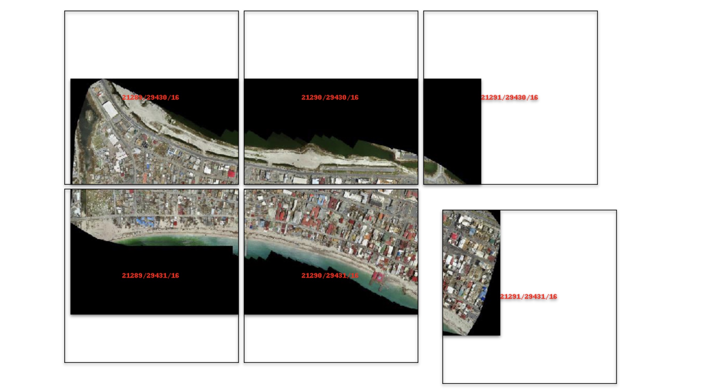
- Extract regions of interest (ROIs) interactively
- Use the example datasets to generate Digital Elevation Models
*remote raster files should be pre-tiled Cloud Optimized GeoTiffs
🚀 Usage
Usage details and examples can be found in the documentation: https://localtileserver.banesullivan.com/
The following is a minimal example to visualize a local raster file with
ipyleaflet:
from localtileserver import get_leaflet_tile_layer, TileClient
from ipyleaflet import Map

# First, create a tile server from local raster file
client = TileClient('path/to/geo.tif')

# Create ipyleaflet tile layer from that server
t = get_leaflet_tile_layer(client)

m = Map(center=client.center(), zoom=client.default_zoom)
m.add_layer(t)
m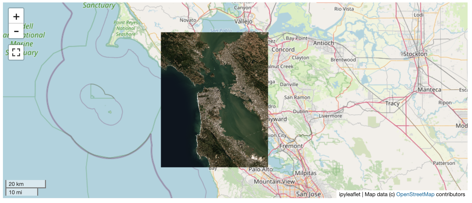
ℹ️ Overview
The TileClient class can be used to to launch a tile server in a background
thread which will serve raster imagery to a viewer (usually ipyleaflet or
folium in Jupyter notebooks).
This tile server can efficiently deliver varying resolutions of your
raster imagery to your viewer; it helps to have pre-tiled,
Cloud Optimized GeoTIFFs (COGs), but no wories if
not as the backing library, large_image,
will tile and cache for you when opening the raster.
There is an included, standalone web viewer leveraging CesiumJS and GeoJS. You can use the web viewer to select and extract regions of interest from rasters.
⬇️ Installation
Get started with localtileserver to view rasters in Jupyter or deploy as your
own Flask application.
🐍 Installing with conda
Conda makes managing localtileserver's dependencies across platforms quite
easy and this is the recommended method to install:
conda install -c conda-forge localtileserver🎡 Installing with pip
If you prefer pip, and know how to install GDAL on your system, then you can install from PyPI: https://pypi.org/project/localtileserver/
pip install localtileserver
📝 A Brief Note on Installing GDAL
GDAL can be a pain in the localtileserver when using pip.
If on linux, I highly recommend using the large_image_wheels from Kitware.
pip install --find-links=https://girder.github.io/large_image_wheels --no-cache GDAL
💭 Feedback
Please share your thoughts and questions on the Discussions board. If you would like to report any bugs or make feature requests, please open an issue.
If filing a bug report, please share a scooby Report:
import localtileserver
print(localtileserver.Report())