All Projects → navit-gps → Navit

navit-gps / Navit

Licence: other
The open source (GPL v2) turn-by-turn navigation software for many OS

Programming Languages

c
50402 projects - #5 most used programming language

Projects that are alternatives of or similar to Navit

Awesome Remote Work
😎 Awesome lists about remote work
Stars: ✭ 264 (-28.26%)
Mutual labels:  hacktoberfest, opensource
Fmm
Fast map matching, an open source framework in C++
Stars: ✭ 359 (-2.45%)
Mutual labels:  gps, openstreetmap
Charlescd
CharlesCD is an open source tool that makes deployments more agile, continuous and safe, which allows development teams to perform hypothesis validations with a specific group of users, simultaneously.
Stars: ✭ 275 (-25.27%)
Mutual labels:  hacktoberfest, opensource
graphhopper-navigation-example
GraphHopper Navigation as App
Stars: ✭ 72 (-80.43%)
Mutual labels:  navigation, openstreetmap
Open Pixel Art
A collaborative pixel art project to teach people how to contribute to open-source
Stars: ✭ 331 (-10.05%)
Mutual labels:  hacktoberfest, opensource
CoronaTracker
A full stack framework to trace possible close-contact candidates within last specified days for an already detected covid-19 positive patient
Stars: ✭ 13 (-96.47%)
Mutual labels:  opensource, gps
Navego
NaveGo: an open-source MATLAB/GNU Octave toolbox for processing integrated navigation systems and performing inertial sensors analysis.
Stars: ✭ 294 (-20.11%)
Mutual labels:  gps, navigation
trackanimation
Track Animation is a Python 2 and 3 library that provides an easy and user-adjustable way of creating visualizations from GPS data.
Stars: ✭ 74 (-79.89%)
Mutual labels:  openstreetmap, gps
Overland Ios
📌 GPS logger for iOS devices
Stars: ✭ 310 (-15.76%)
Mutual labels:  hacktoberfest, gps
Altair
✨⚡️ A beautiful feature-rich GraphQL Client for all platforms.
Stars: ✭ 3,827 (+939.95%)
Mutual labels:  hacktoberfest, opensource
organicmaps
🍃 Organic Maps is a free Android & iOS offline maps app for travelers, tourists, hikers, and cyclists. It uses crowd-sourced OpenStreetMap data and is developed with love by MapsWithMe (MapsMe) founders and our community. No ads, no tracking, no data collection, no crapware. Your donations and positive reviews motivate and inspire our small team!
Stars: ✭ 3,689 (+902.45%)
Mutual labels:  navigation, openstreetmap
Freedomotic
Open IoT Framework
Stars: ✭ 354 (-3.8%)
Mutual labels:  hacktoberfest, opensource
s60-maps
Yet another maps for Symbian OS
Stars: ✭ 27 (-92.66%)
Mutual labels:  navigation, openstreetmap
Traccar
Traccar GPS Tracking System
Stars: ✭ 3,353 (+811.14%)
Mutual labels:  hacktoberfest, gps
orange3-geo
🍊 🌍 Orange add-on for dealing with geography and geo-location
Stars: ✭ 22 (-94.02%)
Mutual labels:  openstreetmap, gps
Online
Collabora Online is a collaborative online office suite based on LibreOffice technology. This is also the source for the Collabora Office apps for iOS and Android.
Stars: ✭ 278 (-24.46%)
Mutual labels:  hacktoberfest, opensource
Say Their Names Ios
Open-source platform that raises awareness of the injustice and often forgotten names of racial inequality.
Stars: ✭ 251 (-31.79%)
Mutual labels:  hacktoberfest, opensource
Maps
🌍🌏🌎 The whole world fits inside your cloud!
Stars: ✭ 253 (-31.25%)
Mutual labels:  hacktoberfest, gps
Augur
Python library and web service for Open Source Software Health and Sustainability metrics & data collection.
Stars: ✭ 304 (-17.39%)
Mutual labels:  hacktoberfest, opensource
Bagisto
An easy to use, free and open source laravel eCommerce platform to build your online shop in no time.
Stars: ✭ 4,140 (+1025%)
Mutual labels:  hacktoberfest, opensource

Build Status CodeFactor

Navit on Android tablet:

navit on android

Navit on Linux based Carputer:

navit-nuc-osd

Navit

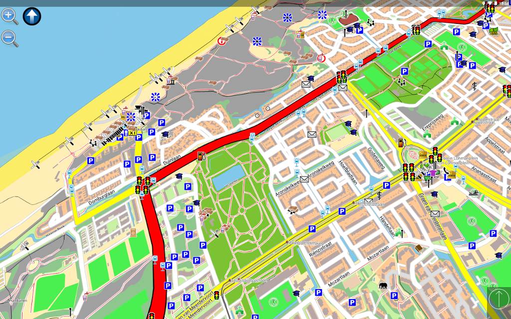
Navit is a open source (GPL) car navigation system with routing engine.

It's modular design is capable of using vector maps of various formats for routing and rendering of the displayed map. It's even possible to use multiple maps at a time.

The GTK+ or SDL user interfaces are designed to work well with touch screen displays. Points of Interest of various formats are displayed on the map.

The current vehicle position is either read from gpsd or directly from NMEA GPS sensors.

The routing engine not only calculates an optimal route to your destination, but also generates directions and even speaks to you.

Navit currently speaks over 70 languages!

You can help translating via our web based translation page: http://translations.launchpad.net/navit/trunk/+pots/navit

For help or more information, please refer to the wiki: http://wiki.navit-project.org

If you don't know where to start, we recommend you to read the Interactive Help : http://wiki.navit-project.org/index.php/Interactive_help

Maps

The best navigation system is useless without maps. Those three maps are known to work:

GPS Support

Navit reads the current vehicle position:

  • directly from a file or port
  • from gpsd (local or remote)
  • from the location service of several mobile platforms
  • from udp server (friends tracking) (experimental)

Routing algorithm

Navit uses LPA* (see Lifelong_Planning_A*), a derivative of the Dijkstra algorithm, for routing. Routing starts at the destination by assigning a value to each point directly connected to the destination point. The value represents the estimated time needed to reach the destination from that point.

Now the point with the lowest value is chosen using the Fibonacci heap, and a value is assigned to connected points which are unevaluated or whose current value is greater than the new one.

The search is repeated until the origin is found.

Once the origin is reached, all that needs to be done is to follow the points with the lowest values to the destination.

LPA* is slightly more complex, as it allows partial re-evaluation of the route graph as segment costs change. This is used by the (still experimental) traffic module, which can process traffic reports and tries to find a way around traffic problems. Refer to the Wikipedia page for a full description.

Note that the project description data, including the texts, logos, images, and/or trademarks, for each open source project belongs to its rightful owner. If you wish to add or remove any projects, please contact us at [email protected].