cyang-kth / Fmm
Programming Languages
Projects that are alternatives of or similar to Fmm

| Linux / macOS | Windows | Wiki | Docs |
|---|---|---|---|
 |
FMM is an open source map matching framework in C++ and Python. It solves the problem of matching noisy GPS data to a road network. The design considers maximizing performance, scalability and functionality.
Online demo
Check the online demo.
Features
- High performance: C++ implementation using Rtree, optimized routing, parallel computing (OpenMP).
- Python API: jupyter-notebook and web app
- Scalibility: millions of GPS points and millions of road edges.
-
Multiple data format:
- Road network in OpenStreetMap or ESRI shapefile.
- GPS data in Point CSV, Trajectory CSV and Trajectory Shapefile (more details).
- Detailed matching information: traversed path, geometry, individual matched edges, GPS error, etc. More information at here.
- Multiple algorithms: FMM (for small and middle scale network) and STMatch (for large scale road network)
- Platform support: Unix (ubuntu) , Mac and Windows(cygwin environment).
- Hexagon match: 🎉 Match to the uber's h3 Hexagonal Hierarchical Geospatial Indexing System. Check the demo.
We encourage contribution with feature request, bug report or developping new map matching algorithms using the framework.
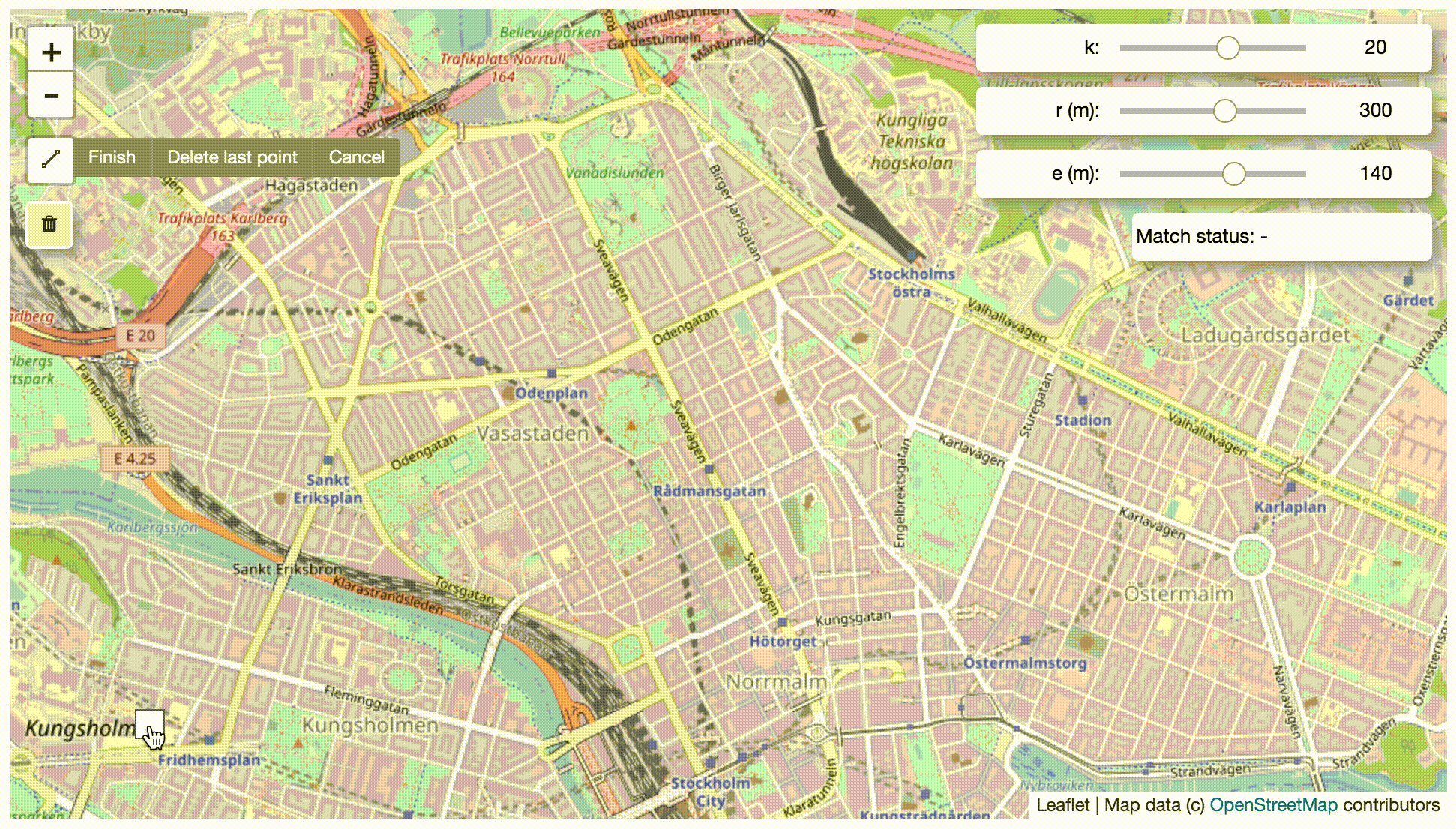
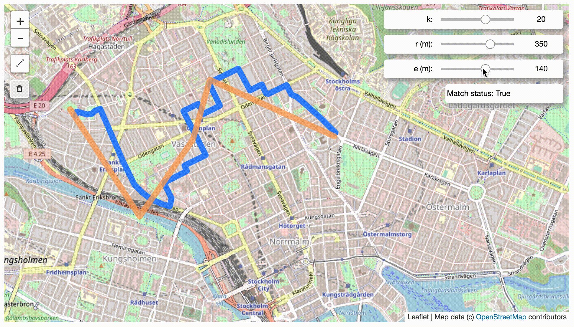
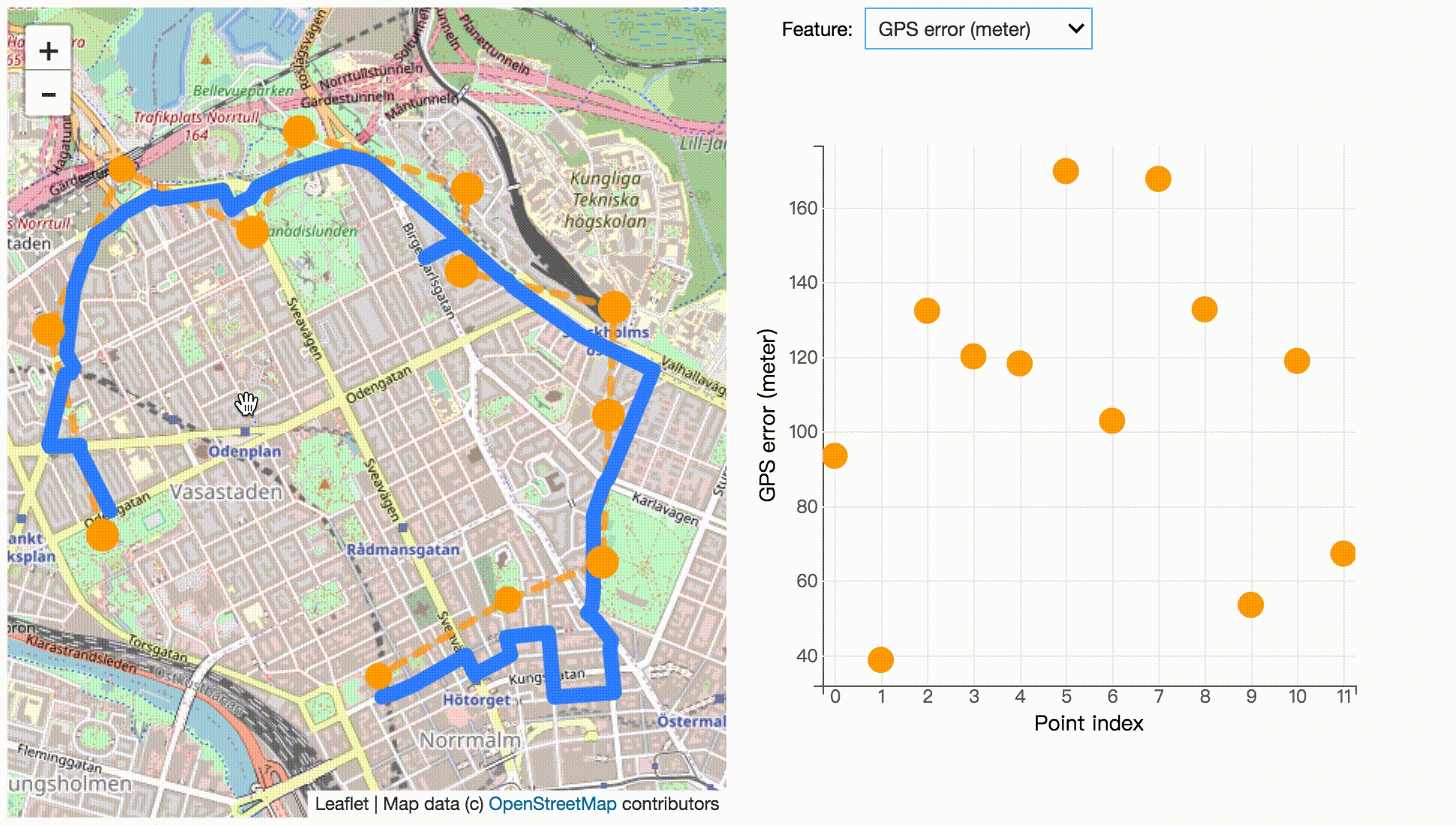
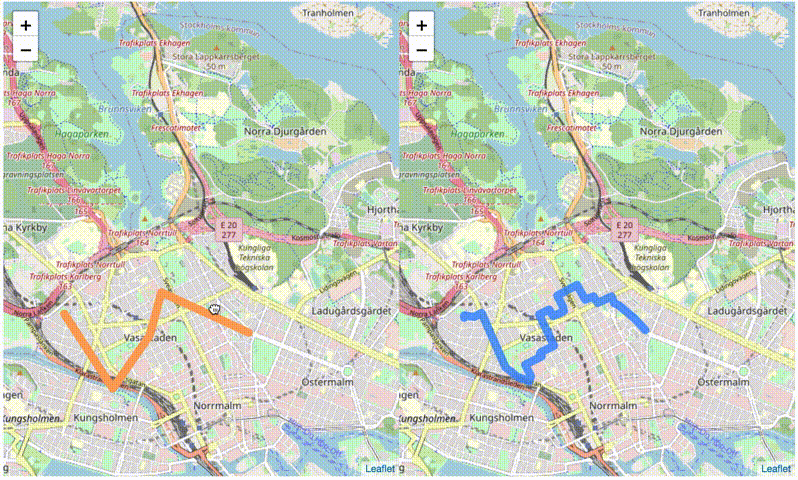
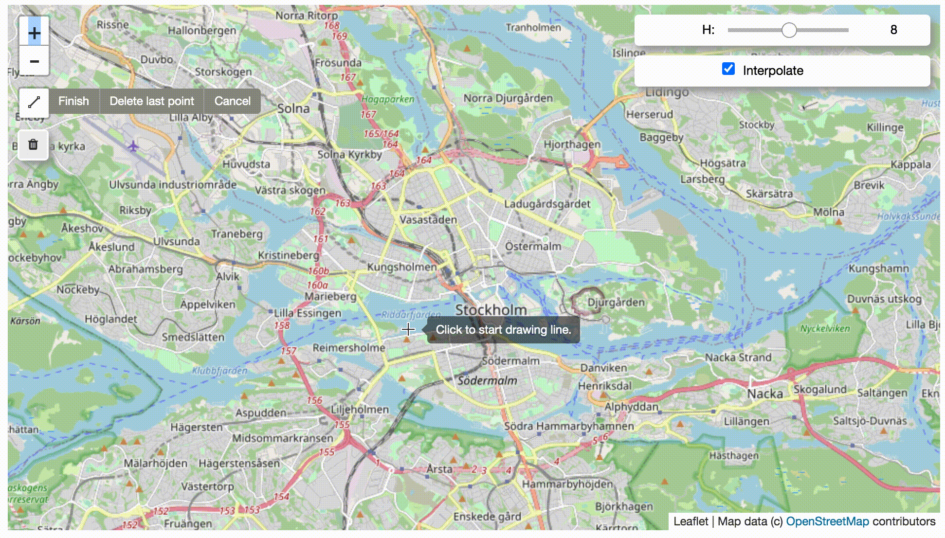
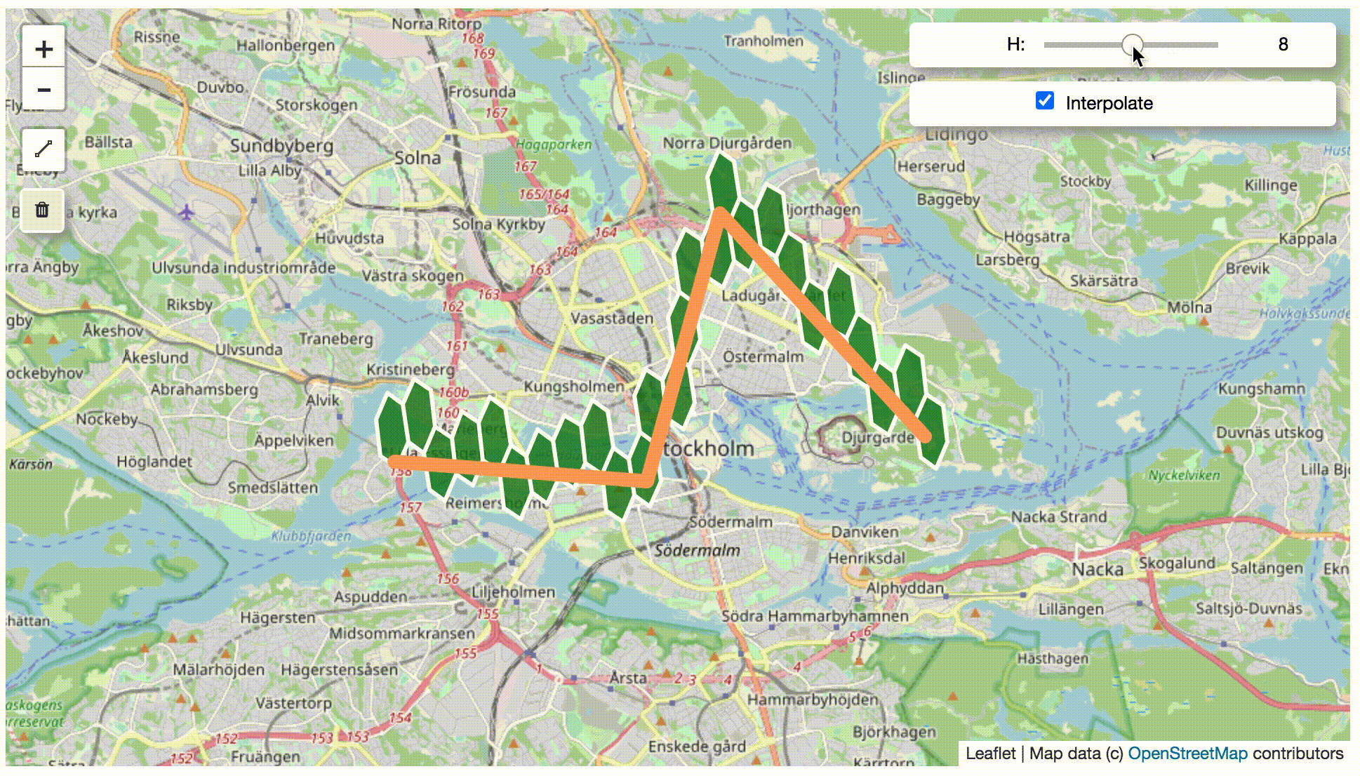
Screenshots of notebook
Map match to OSM road network by drawing
Explore the factor of candidate size k, search radius and GPS error
Explore detailed map matching information
Explore with dual map
Map match to hexagon by drawing
Explore the factor of hexagon level and interpolate
Source code of these screenshots are available at https://github.com/cyang-kth/fmm-examples.
Installation, example, tutorial and API.
- Check https://fmm-wiki.github.io/ for installation, documentation.
- Check example for simple examples of fmm.
- 🎉 Check https://github.com/cyang-kth/fmm-examples for interactive map matching in notebook.
Code docs for developer
Check https://cyang-kth.github.io/fmm/
Contact and citation
Can Yang, Ph.D. student at KTH, Royal Institute of Technology in Sweden
Email: cyang(at)kth.se
Homepage: https://people.kth.se/~cyang/
FMM originates from an implementation of this paper Fast map matching, an algorithm integrating hidden Markov model with precomputation. A post-print version of the paper can be downloaded at link. Substaintial new features have been added compared with the original paper.
Please cite fmm in your publications if it helps your research:
Can Yang & Gyozo Gidofalvi (2018) Fast map matching, an algorithm
integrating hidden Markov model with precomputation, International Journal of Geographical Information Science, 32:3, 547-570, DOI: 10.1080/13658816.2017.1400548
Bibtex file
@article{doi:10.1080/13658816.2017.1400548,
author = {Can Yang and Gyozo Gidofalvi},
title = {Fast map matching, an algorithm integrating hidden Markov model with precomputation},
journal = {International Journal of Geographical Information Science},
volume = {32},
number = {3},
pages = {547-570},
year  = {2018},
publisher = {Taylor & Francis},
doi = {10.1080/13658816.2017.1400548},
URL = {
        https://doi.org/10.1080/13658816.2017.1400548
},
eprint = {
        https://doi.org/10.1080/13658816.2017.1400548
}
}