commaai / Comma2k19
Projects that are alternatives of or similar to Comma2k19
comma2k19
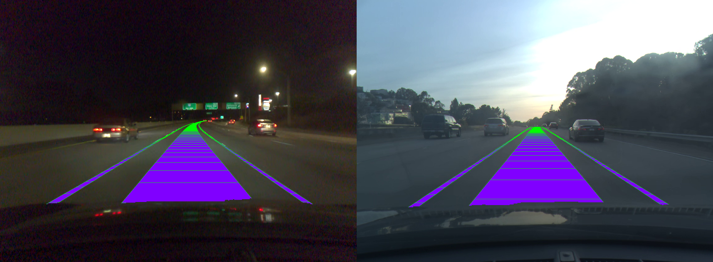
comma.ai presents comma2k19, a dataset of over 33 hours of commute in California's 280 highway. This means 2019 segments, 1 minute long each, on a 20km section of highway driving between California's San Jose and San Francisco. comma2k19 is a fully reproducible and scalable dataset. The data was collected using comma EONs that has sensors similar to those of any modern smartphone including a road-facing camera, phone GPS, thermometers and 9-axis IMU. Additionally, the EON captures raw GNSS measurements and all CAN data sent by the car with a comma grey panda.
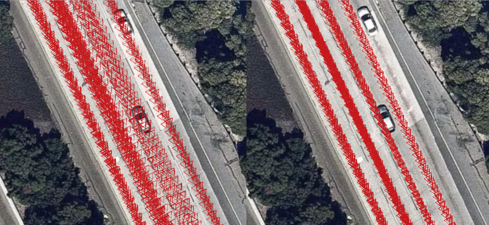
Here we also introduced Laika, an open-source GNSS processing library. Laika produces 40% more accurate positions than the GNSS module used to collect the raw data. This dataset includes pose (position + orientation) estimates in a global reference frame of the recording camera. These poses were computed with a tightly coupled INS/GNSS/Vision optimizer that relies on data processed by Laika. comma2k19 is ideal for development and validation of tightly coupled GNSS algorithms and mapping algorithms that work with commodity sensors.
Publication
For a detailed write-up about this dataset, please refer to our paper. If you use comma2k19 or Laika in your research, please consider citing
@misc{1812.05752,
Author = {Harald Schafer and Eder Santana and Andrew Haden and Riccardo Biasini},
Title = {A Commute in Data: The comma2k19 Dataset},
Year = {2018},
Eprint = {arXiv:1812.05752},
}
Downloads
The total dataset is ~100GB and can be downloaded here It is divided into ~10GB chunks.
Example Code
There is an example data segment in this repo for experimentation. There are also some notebooks with some example code. Including a position benchmark. This code has only been tested on python 2.7 and python 3.6. Make sure to pip install -r requirements.txt if you do not have the relevant packages installed already. Additionally, make sure to add the openpilot submodule and notebooks/lib module to your PYTHONPATH.
The examples contain a 1 minute sample segment and some sample notebooks.
- processed_readers: some examples of data reading and plotting
- position_benchmarks: example of running the position benchmark used to evaluate fix quality
- raw_readers: example of using OpenPilot tools
For examples related to raw GNSS please check out Laika
Dataset Structure
Directory Structure
The data is split into 10 chunks of each about 200 minutes of driving. Chunks 1-2 of the dataset are of the RAV4 and the rest is the civic. The dongle_id of the RAV4 is b0c9d2329ad1606b and that of the civic is 99c94dc769b5d96e.
Dataset_chunk_n
|
+-- route_id (dongle_id|start_time)
    |
    +-- segment_number
        |
        +-- preview.png (first frame video)
        +-- raw_log.bz2 (raw capnp log, can be read with openpilot-tools: logreader)
        +-- video.hevc (video file, can be read with openpilot-tools: framereader)
        +-- processed_log/ (processed logs as numpy arrays, see format for details)
        +-- global_pos/ (global poses of camera as numpy arrays, see format for details)
Log Format
Every log type in processed_log director contains 2 numpy arrays. A timestamp array in seconds using the system device's boot time and a value array.
processed_log
|
+--IMU ([forward, right, down])
|  |
|  +--acceleration: (m^2/s)
|  +--gyro_uncalibrated (rad/s)
|  +--gyro_bias: android gyro bias estimate (rad/s)
|  +--gyro: with android bias correction (rad/s)
|  +--magnetic_uncalibrated: (T)
|  +--magnetic: with android calibration(T)
|
+--CAN data:
|  |
|  +--car_speed (m/s)
|  +--steering_angle (deg)
|  +--wheel_speeds: [front_left, front_right, rear_left, rear_right] (m/s)
|  +--radar: [forward distance (m),
|  |          left distance (m),
|  |          relative speed (m/s),
|  |          nan,
|  |          nan,
|  |          address,
|  |          new_track (bool)]
|  +--raw CAN: This not stored as a value array but as three seperate arrays [src, address, data]
|
+--GNSS
   |
   +--live_gnss_qcom: [latitude (deg),
   |                   longitude (deg),
   |                   speed (m/s),
   |                   utc_timestamp (s),
   |                   altitude (m),
   |                   bearing (deg)]
   +--live_gnss_ublox: [latitude (deg),
   |                    longitude (deg),
   |                    speed (m/s),
   |                    utc_timestamp (s),
   |                    altitude (m),
   |                    bearing (deg)]
   |
   +--raw_gnss_qcom: every row represents a measurement
   |                 of 1 sattelite at 1 epoch can easily
   |                 be manipulated with laika.
   |                 [prn (nmea_id, see laika),
   |                  week of gps_time of reception (gps_week),
   |                  time pf week of gps_time of reception (s),
   |                  nan,
   |                  pseudorange (m),
   |                  pseudorange_std (m),
   |                  pseudorange_rate (m/s),
   |                  pseudorange_rate_std (m/s)]
   +--raw_gnss_ublox: every row represents a measurement
                      of 1 sattelite at 1 epoch can easily
                      be manipulated with laika.
                      [prn (nmea_id, see laika),
                       week of gps_time of reception (gps_week),
                       time pf week of gps_time of reception (s),
                       GLONASS channel number (-7..6) nan if not GLONASS,
                       pseudorange (m),
                       pseudorange_std (m),
                       pseudorange_rate (m/s),
                       pseudorange_rate_std (m/s)]
Pose Format
The poses of the camera and timestamps of every frame of the video are stored
as follows:
  frame_times: timestamps of video frames in boot time (s)
  frame_gps_times: timestamps of video frames in gps_time: ([gps week (weeks), time-of-week (s)])
  frame_positions: global positions in ECEF of camera(m)
  frame_velocities: global velocity in ECEF of camera (m/s)
  frame_orientations: global orientations as quaternion needed to
                      rotate from ECEF  frame to local camera frame
                      defined as [forward, right, down] (hamilton quaternion!!!!)
Workaround for Microsoft-based filesystems
ExFat and NTFS, among others, do not allow for |, the pipe character, in file and directory names. If you are using Microsoft-based filesystems, a workaround is to move the dataset to a non-Microsoft filesystem, decompress the archives there and run python3 utils/unzip_msft_fs.py <dataset dir> <goal dir> where <dataset dir> contains all chunks as zip files and <goal dir> is the directory you want the zip files extracted to. This will expand all the zip files in parallel and replace the pipe character with an underscore at every occurrence on the fly.
Contact
For questions, concerns or suggestions please contact [email protected]


