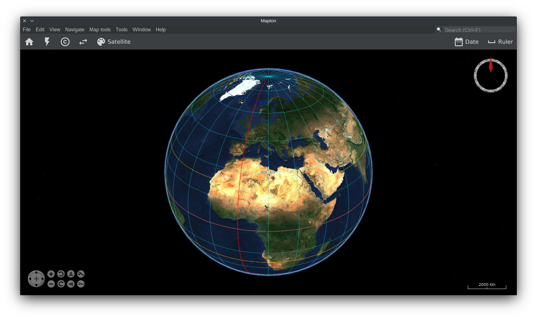
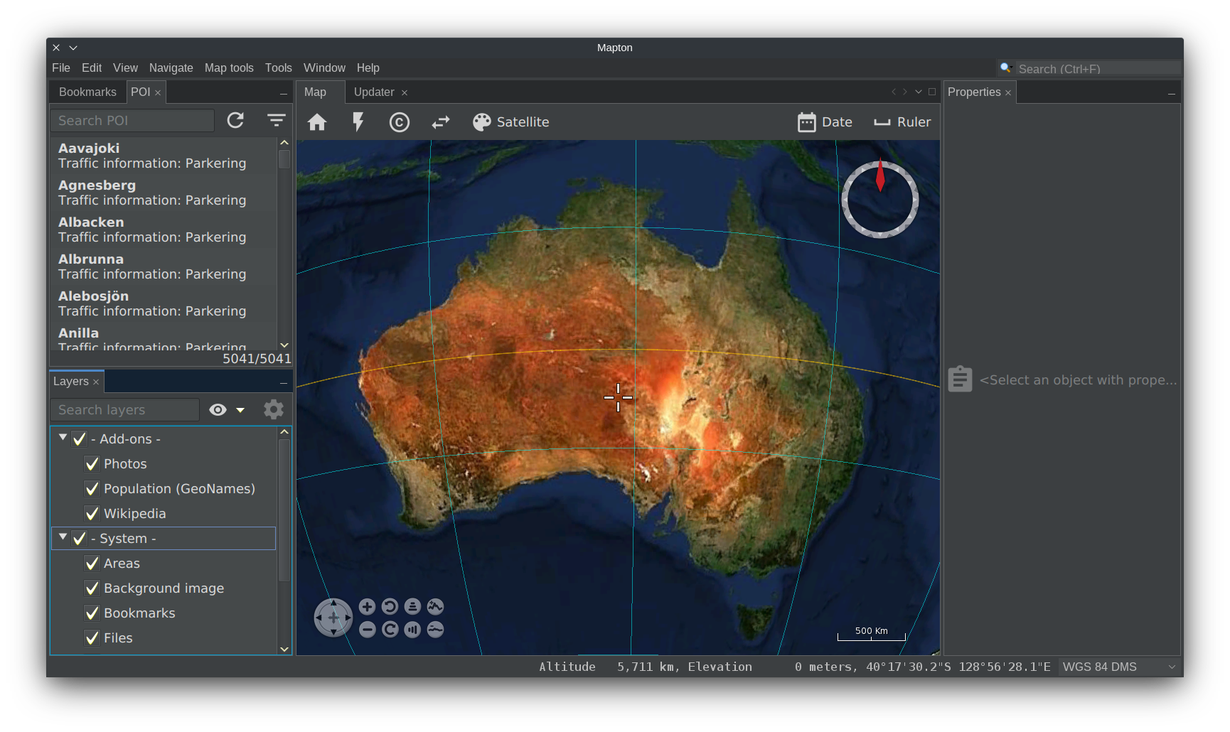
trixon / mapton
Licence: Apache-2.0 license
Some kind of map application
Programming Languages
java 68154 projects - #9 most used programming language
Projects that are alternatives of or similar to mapton
mago3djs3D Rendering Library
Stars: ✭ 114 (+132.65%)
Mutual labels: gis, worldwind
mago3d-CMSmago3D Project
Stars: ✭ 61 (+24.49%)
Mutual labels: gis, worldwind
Ziptastic Jquery PluginThis is a jQuery plugin that shows how Ziptastic could be used.
Stars: ✭ 244 (+397.96%)
Mutual labels: gis
GeoArrays.jlSimple geographical raster interaction built on top of ArchGDAL, GDAL and CoordinateTransformations
Stars: ✭ 42 (-14.29%)
Mutual labels: gis
Mapstore2Modern webmapping with OpenLayers, Leaflet and React
Stars: ✭ 251 (+412.24%)
Mutual labels: gis
simplexspatialThe Reactive Geospatial Server
Stars: ✭ 17 (-65.31%)
Mutual labels: gis
MapshaperTools for editing Shapefile, GeoJSON, TopoJSON and CSV files
Stars: ✭ 2,813 (+5640.82%)
Mutual labels: gis
qgis-outdoor-mapQGIS project for an outdoor map based on OpenStreetMap data.
Stars: ✭ 20 (-59.18%)
Mutual labels: gis
kdtreeA pure Nim k-d tree implementation for efficient spatial querying of point data
Stars: ✭ 40 (-18.37%)
Mutual labels: gis
nextgiswebWeb GIS framework by NextGIS
Stars: ✭ 165 (+236.73%)
Mutual labels: gis
TinfourDelaunay and Constrained Delaunay Triangulations in Java, providing high-performance utilities for modeling surfaces with support for Lidar LAS files, Digital Elevation Models (DEM), finite element analysis, path planning, natural neighbor interpolation, and other applications of Triangulated Irregular Networks (TIN)
Stars: ✭ 119 (+142.86%)
Mutual labels: gis
ee-land-changeGoogle Earth Engine land-use change tutorial for SCBI
Stars: ✭ 22 (-55.1%)
Mutual labels: gis
Go StaticmapsA go (golang) library and command line tool to render static map images using OpenStreetMap tiles.
Stars: ✭ 246 (+402.04%)
Mutual labels: gis
kadas-albireoKADAS Albireo
Stars: ✭ 26 (-46.94%)
Mutual labels: gis
Dropchop🍴 browser-based spatial operations
Stars: ✭ 240 (+389.8%)
Mutual labels: gis
gis-pantryRepository for GIS related scripts, tools and recipes.
Stars: ✭ 37 (-24.49%)
Mutual labels: gis
cogj-specCloud Optimized GeoJSON spec
Stars: ✭ 36 (-26.53%)
Mutual labels: gis
gis-for-geoscientistsRepository for "GIS for Geoscientists" workshop series. This repo contains data, protocols, outputs, lectures, and resources used the workshop. Course taught by Nicholas Barber. Available for future booking upon request! Contact me (
[email protected]) for a quote.
Stars: ✭ 19 (-61.22%)
Mutual labels: gis
Note that the project description data, including the texts, logos, images, and/or trademarks,
for each open source project belongs to its rightful owner.
If you wish to add or remove any projects, please contact us at
[email protected].


